Victoria Falls is situated on the border of Zimbabwe and Zambia. The Falls are easily recognisable on an area map by the zig-zagging Batoka Gorge. Victoria Falls sits about midway along the course of the Zambezi River, at the border of Zambia to the north and Zimbabwe to the south, and is easily accessible from both countries. Much of the area around the Falls is protected within national parks, and the closest towns are Victoria Falls, in Zimbabwe, and Livingstone, in Zambia.
Find Postcard Collectors From Zimbabwe
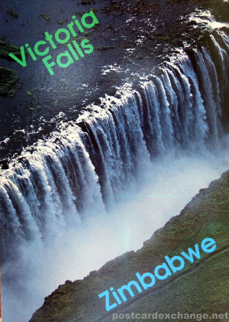
The name of the actual Falls is the Victoria Falls known also as the Mosi oa Tunya (meaning the smoke that thunders). Victoria Falls is also the name of the town on the Zimbabwe side of the Falls. The town on the Zambian side of the Falls is Livingstone named after the explorer who “discovered” the Falls, Dr David Livingstone. The Falls are simply breath taking. In peak flow months a million litres of water per minute are flowing over the edge creating a mist and rainbow that will take your breath away. Both Zambia and Zimbabwe have been mindful of preserving the natural integrity of the gift they keep for future generations. Unlike Niagara Falls the Victoria Falls is not littered with high rise man made structures that deface the natural beauty of the area.
Online map of Victoria Falls:
Technorati tags: [ Victoria Falls | waterfall | Zimbabwe | postcard ]